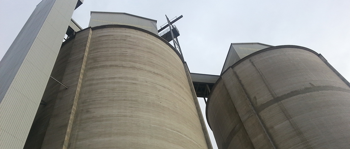
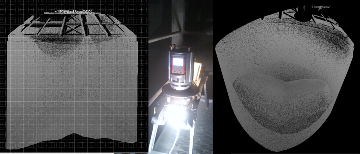
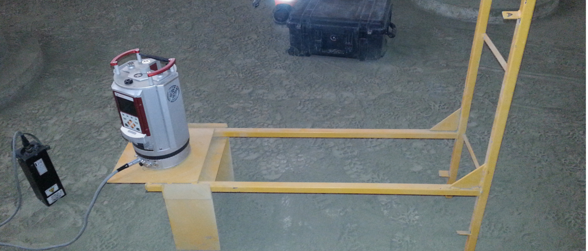
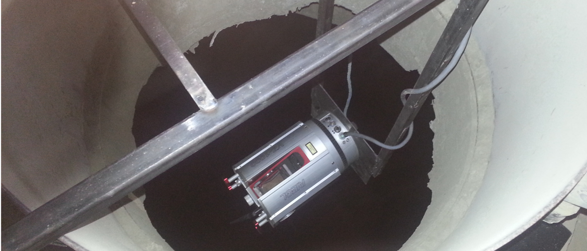
The scanner can be mounted on a specially designed rig allowing access for the laser scanner in areas previously thought to be completely inaccessible.
Once in position a high density scan is undertaken.
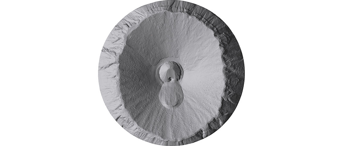
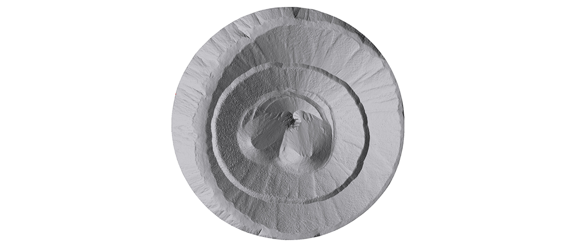
The survey is processed using specialist software to ensure accuracy and quality. This data is used to calculate a volume, allowing our clients to know exactly what stock there is at a specific time.
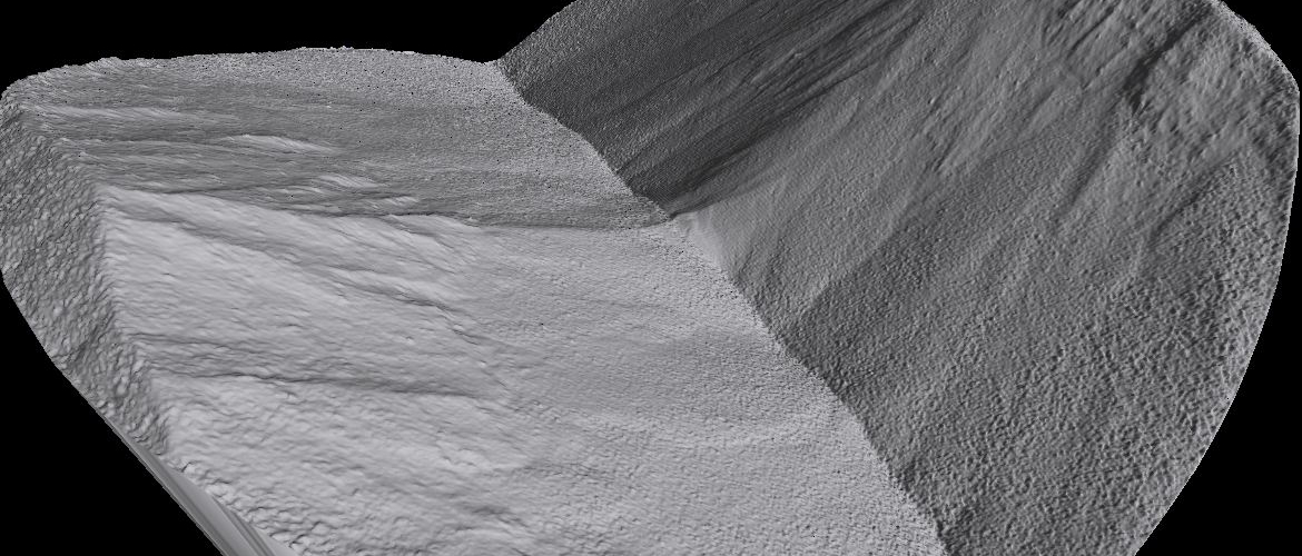
The data is also used to produce plans, sections,mesh data and images in a format that is easily recognisable and can be included in monthly accounts or wherever asset verification may be required.
This method is the safest and most accurate method of surveying available today.
