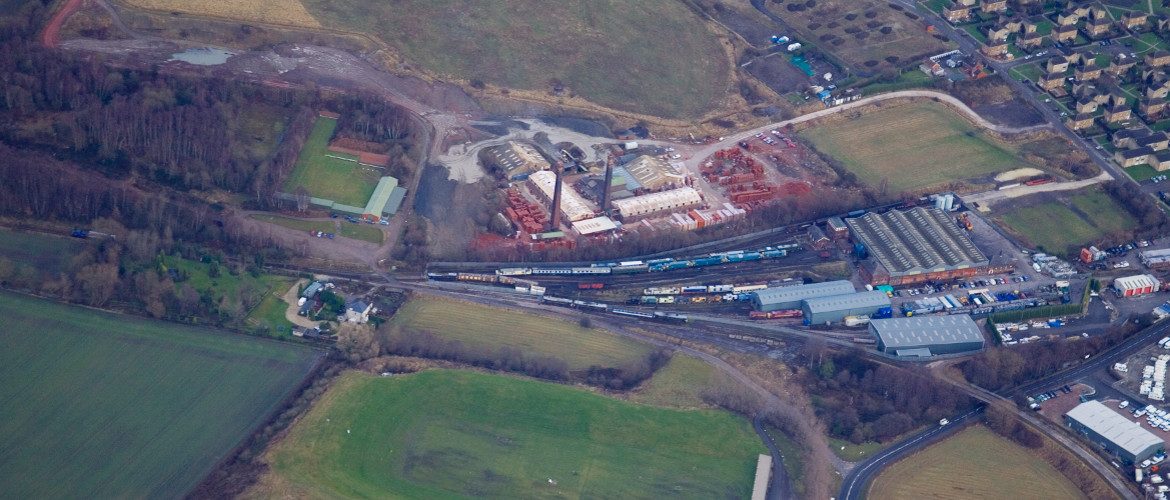
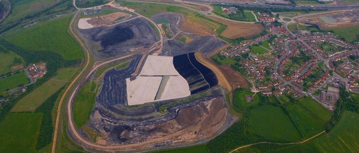
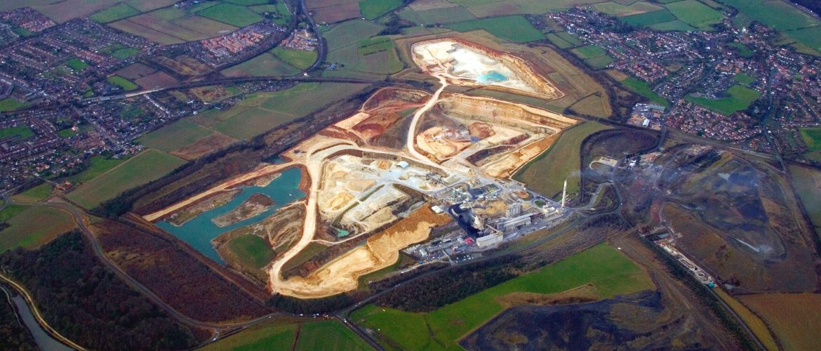
We specialise in taking oblique aerial photographs using a high wing Cessna aeroplane and UAVS.
The images are captured on professional digital equipment using, whenever possible, lenses with inbuilt stabilising mechanisms. Currently we are utilising a Canon EOS‐1D MkII.
Images taken can be one‐offs or taken over a period of time to record the progress of a project. Typically we are employed by civil engineering, landfill and quarrying companies.
Keeping up to date, we can take aerial images and produce point cloud data from our fleet of Unmanned Aerial Vehicles. This is utilising our sister company, Aerial Inspection and Mapping Surveys Ltd.


